
These PDFs provide a detailed look at Zion National Park’s wilderness systems and its broader regional context, combining a backcountry-focused trail map with a larger-scale area map of southern Utah and northern Arizona. Together, they offer both on-the-ground navigation insight and big-picture orientation for one of the most unique canyon environments in the United States.
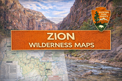
The Zion Wilderness map (file0) is highly detailed and geared toward backcountry travel and route planning. As seen on the map, it outlines major areas such as Zion Canyon, Kolob Canyons, the West Rim, East Rim, and the Virgin River Narrows. Trails, camping zones, and designated wilderness campsites are clearly marked, along with group size limits and permit requirements. The document places strong emphasis on rules and survival considerations, including strict fire restrictions, mandatory food storage, and the requirement to pack out all human waste. It also highlights water realities—many springs are unreliable or seasonal, and untreated water may be unsafe due to contaminants like cyanobacteria. These details reinforce that Zion’s wilderness is not just scenic but logistically demanding and potentially hazardous.
The map also reflects how transportation and access are tightly controlled within the park. As noted on page 1, private vehicles are restricted on Zion Canyon Scenic Drive for much of the year, with shuttle systems providing access to key trailheads like The Narrows and West Rim. This creates a structured flow of movement, where entry points and travel routes are limited and must be planned in advance. The terrain itself—steep canyon walls, narrow river corridors, and exposed desert plateaus—further shapes how people move through the park.
The regional area map (file1) expands the perspective, showing how Zion fits into a broader network of parks and landscapes, including Bryce Canyon, the Grand Canyon, Lake Powell, and surrounding monuments. As illustrated on the map, Zion sits within a larger desert and canyon system spanning Utah, Arizona, and Nevada, with key access routes connecting towns like St. George, Kanab, and Las Vegas. It also highlights how road conditions can vary, with some dirt roads becoming impassable when wet and certain routes closing seasonally.
Overall, these PDFs present Zion as a highly structured yet rugged desert environment, where movement is constrained by both natural terrain and park regulations. They emphasize the importance of planning, water management, and route awareness in a landscape defined by cliffs, canyons, and extreme conditions. For preppers or outdoor users, the key takeaways are clear: limited access corridors, unreliable water sources, strict environmental rules, and the need for careful preparation in a terrain that can quickly become unforgiving.
© Prepping Communities. This content is for informational purposes only and not professional advice. Use at your own risk.
Terms | Privacy | Guidelines