
This PDF is a comprehensive visitor guide and map for White Sands National Park in New Mexico, combining educational content, environmental explanations, and practical navigation into a single, visually rich document. It functions as both an introduction to the park’s unique ecosystem and a planning tool for exploring the vast gypsum dune landscape.
The front page highlights the defining feature of the park—the massive white gypsum dune field, described as the largest of its kind in the world, covering approximately 275 square miles in the Tularosa Basin. As shown in the imagery and text, these dunes are constantly shifting, shaped by wind and water over time. The document explains how ancient seas left behind gypsum deposits, which were later broken down into sand through natural processes. This geological background helps users understand why the landscape looks so different from typical desert environments.
A major section of the PDF focuses on adaptation and survival within this harsh ecosystem. As described on page 1, plants and animals have evolved unique strategies to cope with heat, shifting الرمال, and limited water. Examples include animals that are active at night to avoid heat, species that have developed lighter coloration to reflect sunlight, and plants that grow quickly or extend roots to survive being buried by moving dunes. These insights emphasize how dynamic and challenging the environment is, despite its serene appearance.
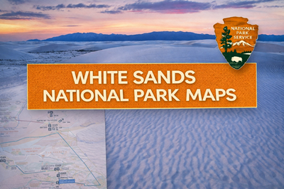
The second page transitions into visitor planning and park navigation. It includes a detailed map of the park showing Dunes Drive, trailheads, picnic areas, and the visitor center. As indicated in the lower portion of the map, most exploration follows a single main road into the dune field, with limited infrastructure beyond that point. The guide also provides safety recommendations, such as carrying water, staying oriented using landmarks, and avoiding dangerous activities like tunneling into dunes, which can collapse.
Additionally, the PDF includes historical and cultural context, describing human presence in the Tularosa Basin dating back over 11,000 years, from early hunters to the Jornada Mogollon culture and later settlers. It also notes the area’s connection to military testing, including proximity to the Trinity Site where the first atomic bomb was detonated. This adds another layer of significance beyond the natural environment.
Overall, this PDF serves as a hybrid educational guide, safety briefing, and navigation map, helping visitors understand both the beauty and the risks of White Sands. For preppers or outdoor users, it highlights key realities: extreme exposure, limited water access, constantly shifting terrain, and the importance of navigation and environmental awareness in an open, featureless landscape.
© Prepping Communities. This content is for informational purposes only and not professional advice. Use at your own risk.
Terms | Privacy | Guidelines