
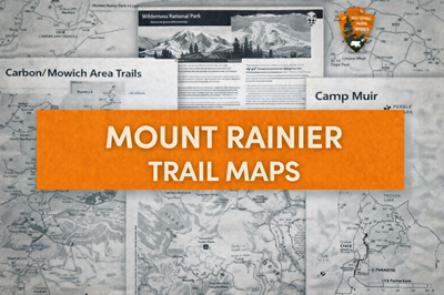
These PDFs together form a comprehensive trail, route, and wilderness planning system for Mount Rainier National Park. These documents range from detailed area trail maps to advanced mountaineering guidance and full wilderness trip planning, giving users everything from beginner hikes to high-risk alpine routes.
The area trail maps (Longmire, Paradise, Sunrise, Carbon/Mowich, and Ohanapecosh) provide structured breakdowns of hiking options by difficulty, distance, and elevation. For example, the Longmire/Cougar Rock guide (file0) organizes trails into easy, moderate, and strenuous categories, with clear elevation gains and hiking times, helping users assess physical demands. Similarly, the Paradise and Sunrise maps (files1 and 3) highlight iconic alpine routes with major elevation gains and exposure, emphasizing that even short hikes can become physically demanding due to terrain and altitude. Across these maps, there is a consistent focus on preparation—especially the repeated instruction to carry the “10 Essentials”, underscoring the unpredictable mountain environment.
The Carbon River/Mowich and Ohanapecosh maps (files2 and 5) introduce more rugged and remote terrain. These areas emphasize hazards such as washed-out trails, stream crossings, dense forest, and limited access. As noted in the Carbon River guide, hikers may encounter debris, unstable terrain, and challenging river crossings, requiring careful route selection and judgment. The Ohanapecosh map also highlights closures and changing access routes, showing how conditions and infrastructure can shift due to weather, flooding, or construction—an important reminder that plans must remain flexible.
The Camp Muir route guide (file4) represents a significant jump in difficulty and risk. This document specifically warns that only experienced hikers and climbers should attempt the route, describing an unmarked ascent across the Muir Snowfield with nearly 5,000 feet of elevation gain. The navigation map on page 2 includes compass bearings, GPS coordinates, and glacier boundaries, emphasizing how easily travelers can become disoriented in whiteout conditions. It also highlights serious hazards such as crevasses, avalanches, and steep cliffs, making it clear this is not a typical hiking route but a mountaineering environment requiring advanced skills.
Finally, the Wilderness Trip Planner (file6) ties everything together at a strategic level. It explains permits, camping rules, climbing requirements, and Leave No Trace principles, while also outlining the broader environment—an active volcano with glaciers, extreme weather, and over 260 miles of trails. It emphasizes planning, route selection, and self-reliance, noting that conditions can change rapidly and that even experienced climbers are often turned back by weather or fatigue.
Overall, these PDFs collectively present Mount Rainier as a layered environment—from accessible trails to extreme alpine terrain. They function not just as maps, but as a complete operational guide, combining navigation, logistics, safety, and survival considerations. For hikers, backpackers, or preppers, they clearly demonstrate that success in this environment depends on preparation, situational awareness, and respect for rapidly changing mountain conditions.
© Prepping Communities. This content is for informational purposes only and not professional advice. Use at your own risk.
Terms | Privacy | Guidelines