
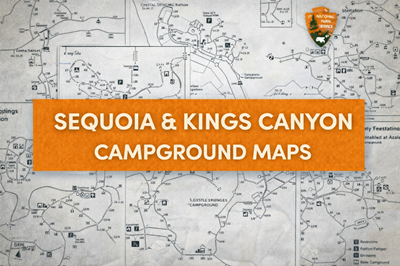
These PDFs are a collection of campground maps for Sequoia & Kings Canyon National Parks, each focusing on a specific campground area. Together, they provide a detailed look at how camping infrastructure is organized within this mountainous, forested region, offering both navigation and practical planning information for visitors.
Each map—such as Buckeye, Cold Springs, Crystal Springs, Sentinel, and Dorst Creek—shows the layout of individual campsites, internal roads, and key facilities. For example, the Sentinel Campground map (file3) clearly outlines dozens of campsite loops, parking areas, water access points, and restrooms, giving users a precise understanding of how the campground is structured. Similarly, the Crystal Springs map (file2) highlights amenities like accessible sites, dumpsters, recycling areas, and bear-proof food storage, which are critical in wildlife-heavy environments.
The Dorst Creek Campground map (file4) stands out for its scale and detail, showing a large campground divided into multiple zones with over 200 sites. As indicated in the legend, different areas are designated for RV and trailer camping, tent-only sites, walk-in sites, and group camps, allowing visitors to choose based on their setup. The map also includes infrastructure such as a registration booth, shuttle stops, amphitheater, and trailhead access, making it a central hub for both camping and park exploration.
Across all maps, there is a strong emphasis on rules, safety, and campground management. Notes such as quiet hours, generator usage limits, and occupancy restrictions (seen on the Buckeye map) help maintain order and reduce impact. The inclusion of bear boxes and waste management features reflects the need to safely coexist with wildlife, especially in areas where bears are common.
Overall, these PDFs serve as highly practical, site-level navigation tools, helping visitors plan exactly where to camp, how to access facilities, and how to move within each campground. While they represent developed areas, they also highlight the balance between accessibility and wilderness—providing structure and safety within a rugged, natural environment.
© Prepping Communities. This content is for informational purposes only and not professional advice. Use at your own risk.
Terms | Privacy | Guidelines