
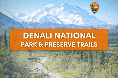
This PDF is a trail map and visitor guide for Denali National Park and Preserve, focused on the area near the park entrance and extending into the Savage River region. It combines a detailed visual map with practical hiking information, helping visitors understand both the layout of key facilities and the limited trail system in one of North America’s most remote wilderness parks.
The main map (page 1) highlights the Denali Visitor Center campus, Riley Creek Campground, and surrounding infrastructure such as the bus depot, sled dog kennels, and trailheads. Roads like the George Parks Highway and Denali Park Road are clearly marked, along with shuttle bus stops that are essential for accessing deeper areas of the park. The map also shows how concentrated development is near the entrance, with most services and maintained trails located in this small zone, while the vast majority of the park remains undeveloped.
The guide places strong emphasis on featured trails and hiking options. As outlined in the trail tables on the lower section of the page, routes range from easy walks like the Mountain Vista Trail to strenuous hikes such as the Triple Lakes Trail and Mount Healy Overlook Trail. Each trail is described with distance, elevation gain, and difficulty, allowing users to plan based on their ability. A separate section details the Savage River area (miles 12–15), showing loop trails and alpine routes accessible via shuttle, reinforcing that even slightly deeper into the park, access remains controlled and structured.
A key theme throughout the document is the limited trail network and true wilderness nature of Denali. The map explicitly notes that “most of Denali is devoid of trails,” meaning that beyond the front country areas, travel often becomes off-trail and requires advanced navigation skills. This sets Denali apart from many other parks and highlights its wild, untamed character.
The safety section on the map underscores the realities of this environment. Visitors are warned about encounters with wildlife such as moose, bears, and wolves, with specific guidance on maintaining distance and carrying bear spray. These safety notes, combined with the sparse infrastructure shown on the map, emphasize the need for preparation, awareness, and respect for the environment.
Overall, this PDF serves as both a navigation aid and a wilderness orientation guide, providing insight into how to explore Denali’s accessible areas while highlighting the vast, largely untouched backcountry that defines the park.
© Prepping Communities. This content is for informational purposes only and not professional advice. Use at your own risk.
Terms | Privacy | Guidelines