
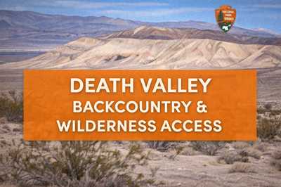
This PDF is a comprehensive Backcountry & Wilderness Access Map for Death Valley National Park, designed to help visitors safely navigate one of the most extreme environments in North America. It combines a large-scale map with detailed safety guidance, road classifications, and survival-oriented information, making it both a navigation tool and a field manual for remote travel.
The first page focuses heavily on backcountry safety and environmental hazards. It outlines critical risks such as extreme heat, dehydration, lack of cell service, and dangerous terrain features like mine shafts and unstable structures. The document emphasizes that most hiking in Death Valley is cross-country, with few maintained trails, and warns that water sources are unreliable or contaminated, meaning visitors should carry all necessary water or plan cache strategies. It also highlights seasonal dangers like flash floods in dry washes and snow or ice at higher elevations, reinforcing the need for careful planning before entering the backcountry.
Another major section on page 1 details road access and vehicle requirements, breaking down routes into categories such as low-clearance, high-clearance, 4WD, and rough 4WD roads. Each road description explains terrain conditions—deep sand, rocky ledges, washouts, and steep grades—and often specifies that only experienced drivers should attempt certain routes. This section makes it clear that travel in Death Valley is highly dependent on vehicle capability, and that poor preparation can quickly lead to breakdowns or dangerous situations in isolated areas.
The second page features a large, highly detailed map of the park and surrounding region. It shows major highways, dirt roads, backcountry routes, mountain ranges, valleys, and notable landmarks such as Racetrack Playa, Badwater Basin, and Furnace Creek. The map also includes symbols for campgrounds, ranger stations, gas stations, and springs, along with shaded areas indicating terrain types and protected wilderness zones. Insets and legends explain road conditions and vehicle requirements, helping users quickly assess what routes are accessible based on their equipment and experience.
A key takeaway from this PDF is the scale and isolation of Death Valley. The map visually reinforces how vast the park is, with long distances between services and large areas of rugged, undeveloped land. Combined with the safety information, it highlights the importance of self-sufficiency, route planning, and environmental awareness when traveling here.
Overall, this document serves as both a navigation guide and survival-focused resource, offering essential information for anyone exploring Death Valley’s backcountry. It provides a clear understanding of terrain, access limitations, and environmental risks, making it especially valuable for adventurers, off-road travelers, and preppers operating in extreme desert conditions.
© Prepping Communities. This content is for informational purposes only and not professional advice. Use at your own risk.
Terms | Privacy | Guidelines