
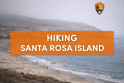
This PDF is a detailed hiking guide and map for Santa Rosa Island, part of Channel Islands National Park off the coast of California. It combines practical trail information with a visual map to help visitors understand the island’s terrain, routes, and restrictions. The document is designed to prepare hikers for a remote island environment where planning, self-reliance, and awareness of natural hazards are essential.
The first page of the guide focuses on hiking routes and safety guidelines. It outlines a variety of trails ranging from easy coastal walks to strenuous climbs like Black Mountain. A table on this page lists destinations, distances, difficulty levels, and descriptions—for example, the relatively easy walk to Water Canyon Beach versus the long, demanding hike to East Point. The guide emphasizes personal responsibility, warning hikers about hazards such as unstable cliffs, poison oak, ticks, and limited water availability. It also highlights strict environmental protections, including seasonal closures to protect nesting birds and rules to avoid disturbing wildlife like seals and seabirds.
The map on page 2 provides a clear overview of Santa Rosa Island’s layout, showing roads, trails, beaches, and major landmarks such as Bechers Bay, Lobo Canyon, and Black Mountain. It also marks restricted zones, including marine reserves and areas closed during certain times of the year. Notes on the map—such as “on-trail travel only” and warnings about closed beaches—reinforce the importance of staying within designated routes. The map also shows how isolated the island is, with limited infrastructure centered around the pier, campground, and airstrip.
A key theme throughout the document is the balance between accessibility and environmental protection. While the island offers scenic coastal views, rare ecosystems (like Torrey pine groves), and diverse wildlife, access is carefully controlled to preserve these resources. The guide also stresses logistical considerations, such as limited transportation schedules to and from the island and the need to carry all necessary supplies, including water and food.
Overall, this PDF serves as both a navigation tool and a safety-oriented field guide. It gives users a clear understanding of trail options, terrain challenges, and environmental constraints, while also emphasizing the importance of preparation and responsible travel in a remote coastal wilderness setting.
© Prepping Communities. This content is for informational purposes only and not professional advice. Use at your own risk.
Terms | Privacy | Guidelines