
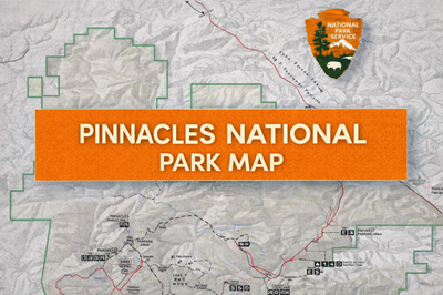
These PDFs and are detailed park maps of Pinnacles National Park, providing both a broad geographic overview and a more focused trail-level navigation guide. Together, they function as a complete orientation and route-planning resource for exploring this unique volcanic landscape in central California.
The main park map (file0) shows the full boundary of Pinnacles National Park, clearly outlined with surrounding terrain and access routes. One of the most important details—highlighted directly on the map—is that no roads cross the park, meaning the east and west entrances are not connected by vehicle. As noted on the map, California Highway 146 is narrow and winding, reinforcing that travel logistics require planning. The map also identifies key infrastructure such as campgrounds, picnic areas, ranger stations, and trailheads, along with symbols for water, restrooms, and accessibility features.
The second map (file1) zooms in on the core hiking and trail system, especially around the High Peaks and Bear Gulch areas. It shows major trails like the High Peaks Trail, Condor Gulch Trail, and Bear Gulch Cave Trail, along with distances and elevation context. As seen in the central portion of the map, the terrain is highly rugged, with steep ridges, narrow canyons, and multiple interconnected trail loops. The High Peaks area, in particular, stands out as a focal point for more strenuous hiking, with exposed sections and significant elevation gain.
A defining feature of these maps is the emphasis on unique geological and environmental characteristics. The park lies along the San Andreas Rift Zone, and the terrain is shaped by ancient volcanic activity, resulting in spires, caves, and talus formations. The maps specifically mark trails that pass through caves, which are a major attraction but also introduce navigation and safety considerations such as darkness, seasonal closures, and uneven footing.
Overall, these PDFs present Pinnacles as a compact but physically demanding park, where navigation is trail-based rather than road-based, and movement requires careful planning. They provide both high-level orientation and detailed trail information, making them essential tools for hikers. For preppers or backcountry users, they highlight the importance of route planning, understanding terrain constraints, and recognizing that even smaller parks can present complex navigation and environmental challenges.
© Prepping Communities. This content is for informational purposes only and not professional advice. Use at your own risk.
Terms | Privacy | Guidelines